#Industry News
USV and UAV Collaborate to Map a Dam Site in Cameroon, Africa
An OceanApha SL20 unmanned surface vehicle (USV) and a South Survey UAV laser radar were utilized to map the engineering site of a hydro-power station dam in Cameroon, Africa.
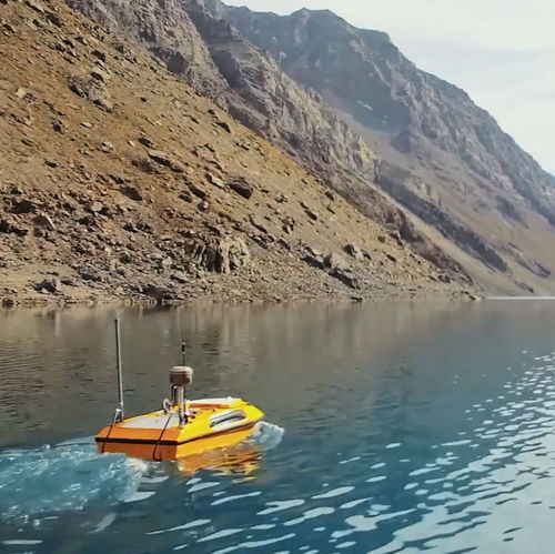
An OceanApha SL20 unmanned surface vehicle (USV) and a South Survey UAV laser radar were utilized to map the engineering site of a hydro-power station dam in Cameroon, Africa. The success of this project provides a valuable reference to the collaboration of unmanned platforms in the geographic survey industry.
To provide data support to the dam construction of Lebanga hydro-power station, a total of 19.72 square kilometer of engineering area, including both land and underwater surface, were efficiently mapped in one week due to the innovative application of these unmanned platforms.
Due to its tropical location, Cameroon is densely weeded with trees. To guarantee the data quality, the team spent two weeks in advance to find an ideal location to launch the UAV.
The team successfully delivered the mission against challenges of hot and humid weather and the potential threat of malaria.